Fisheries in MPAs
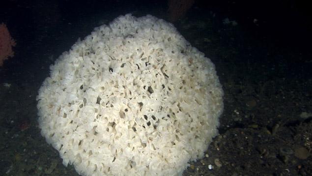
Canada has 197 Pacific Marine Protected Areas (MPAs), but most are very small. Combined they take up only three percent (about 14,000 km²) of the total area of Canada’s Pacific waters.
In 2002 the World Parks Congress recommended that 20-30 percent of every habitat in the oceans be given full protection from fishing within ‘no take’ zones. No take zones are safe havens where sea life can regenerate without human disruption.
The economic benefit for fishermen and coastal communities is that some species of fish will become larger and more abundant in the waters surrounding the no take zone, now and in the future. MPAs that receive only partial protection do not provide the same positive results.
In Canada’s Pacific waters, 89 percent of MPAs fall into International Union for the Conservation of Nature (IUCN) categories I-III, and are intended to be free from any form of harvesting. However, a recent study by Living Oceans Society found that fishing occurs to some extent in all but 2.5 percent of those MPAs. Based on these results, we have a list of recommendations to improve Canada’s management of its Pacific MPAs.
Part of the problem is that MPAs in Canada are established and managed by many different branches of government for many different purposes. In Canada’s Pacific waters, there are 11 separate types of MPAs, managed by four federal and provincial agencies and one municipality. MPAs that serve the same purpose may have different designations if they are managed by different agencies.
Also, the actual boundaries of the fisheries closures are set by yet another agency, Fisheries and Oceans Canada (DFO). Depending on how much communication occurs between the MPA managers and DFO, fisheries closures may match up well with the boundaries of the MPAs, or not at all.
To build an effective MPA network that can be managed and enforced there must be better coordination between DFO and the various government agencies that designate MPAs. It would also help to standardize the MPA designations and the maps and boundaries used by each agency that manages them.

